
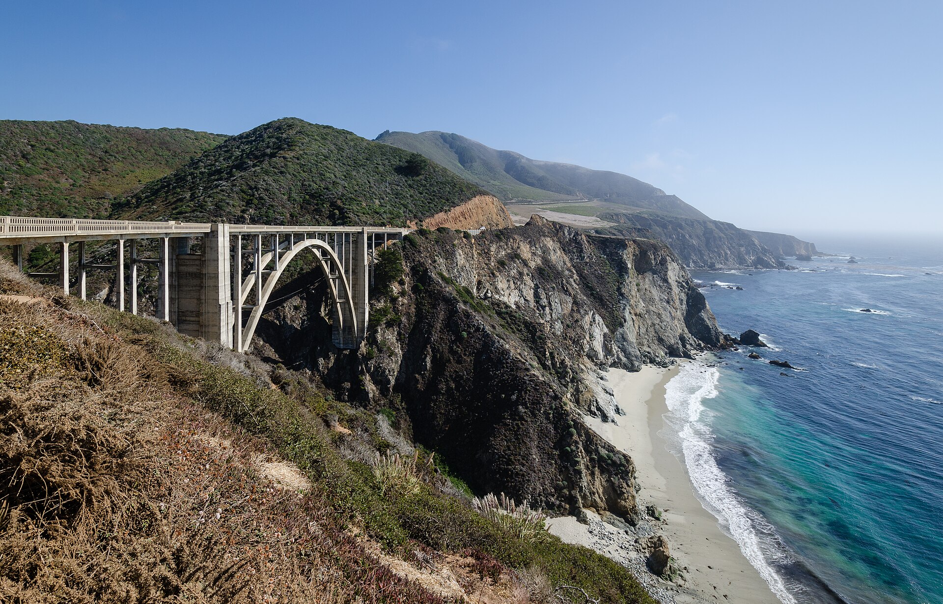
A Pacific Coast Highway road trip is the classic California drive: beach towns and surf breaks in the south, the Spanish-style streets of Santa Barbara, the farm country and volcanic peaks around San Luis Obispo, and then the cliffs of Big Sur before the road reaches Monterey and San Francisco. This guide covers the route, a day-by-day plan, the main stops, the best direction and season, and the practical details that catch people out, such as fuel, cell coverage, parking and road closures.
Road conditions on this coast change with storms, fires and construction, so the status notes below are current as of mid-November 2026. Hours, fees and closures can change at short notice: check before you go, and check Caltrans QuickMap the day before you drive.
What Is the Pacific Coast Highway?
Most of the coastal route is California State Route 1, usually just called Highway 1. It runs about 656 miles from Interstate 5 in Dana Point, in Orange County, to US 101 near Leggett in Mendocino County. The name “Pacific Coast Highway” (PCH) officially applies to the southern stretch, from Dana Point through Los Angeles County to near Oxnard. North of there the same road is signed as the Cabrillo Highway, and the section between San Luis Obispo County and Carmel is the Big Sur Coast Highway, a designated National Scenic Byway.
Highway 1 is not one unbroken coast road. It shares US 101 for about 54 miles between the Ventura area and Las Cruces, north of Santa Barbara, and again between Pismo Beach and San Luis Obispo, where 101 runs inland. For a road trip that is a good thing: those stretches are faster freeway, and the slow, scenic driving is saved for Malibu, the Central Coast and Big Sur.
Is the Route Open? Road Status in November 2026
Big Sur
For the first time in almost three years, Highway 1 is open end to end between Carmel and Cambria. Paul’s Slide, south of Lucia, closed the road from January 2023 until June 2024. Regent’s Slide, which began in February 2024 and overlapped with it, kept a 6.8-mile section shut until Caltrans reopened it at noon on January 14, 2026, about 90 days ahead of schedule.
The summer of 2026 brought another interruption. The Timber Fire started on August 8 near Pfeiffer Big Sur State Park and closed Highway 1 for part of August. By mid-September the Big Sur Chamber of Commerce reported the highway fully open through Big Sur again.
Open does not mean free-flowing. In mid-November 2026, Caltrans had one-way traffic control at Rocky Creek Bridge, south of Carmel, and near the Point Sur Lighthouse, and scheduled short daytime closures near Torre Canyon Bridge for slope repairs above the Timber Fire burn area. Work like this comes and goes through the year. Caltrans warns that winter storms can bring temporary full closures at Regent’s Slide and elsewhere, so treat any status in this article as a starting point, not a guarantee.
Malibu and Pacific Palisades
The January 2025 Palisades Fire closed PCH between Santa Monica and Malibu for months. Caltrans reopened it to all drivers on May 23, 2025, but the corridor stayed an active work zone, with weekday single-lane closures and a 25 mph limit in parts of the burn area during 2025. On November 16, 2026, the Caltrans road-information service listed no current restrictions on Highway 1 in Los Angeles County, but recovery and repair work on this stretch continues, so check QuickMap before you set out. Further south, Caltrans listed Highway 1 in Laguna Beach as reduced to one lane in each direction for emergency work.
Which Direction Should You Drive?
Southbound, from San Francisco toward Los Angeles, puts you in the lane on the ocean side of the road. Through Big Sur that means unobstructed views out of the passenger window and easier right turns into the many gravel pullouts, without crossing oncoming traffic. Northbound works too, and it is the natural choice if you start in Los Angeles, but you will be crossing the road to reach most viewpoints.
Many travelers who live in or fly into Los Angeles solve this by flying or taking the train to San Francisco and driving home along the coast. The itinerary below runs southbound for that reason; it works the same in reverse.
A 5-Day Pacific Coast Highway Road Trip Itinerary
From San Diego to San Francisco along the coast is roughly 600 miles and about 12 hours of pure driving. Between San Francisco and Los Angeles, five days gives you time to stop properly; three is possible if you skip side trips, and a week lets you add wine country and long hikes.
Day 1: San Francisco to Monterey and Carmel
Monterey is about 115 miles, or two hours, south of San Francisco. Spend the afternoon on Cannery Row, where the Monterey Bay Aquarium sits at 886 Cannery Row, then drive on to Carmel-by-the-Sea for dinner and a sunset walk on the beach. If you have time, the privately run 17-Mile Drive through Pebble Beach links Pacific Grove and Carmel; it charges a per-vehicle gate fee, so check the current rate on the Pebble Beach site.
Day 2: Big Sur, Carmel to Cambria
This is the day the trip is built around. The Big Sur Coast Highway covers about 71 miles of road between Malpaso Creek near Carmel Highlands and San Carpóforo Creek near San Simeon. Leave early, fill the tank in Carmel, and plan on most of the day even though the distance is short.
- Point Lobos State Natural Reserve, about 3 miles south of Carmel: coves, cypress groves and sea otters. Day use runs 8 a.m. to 5 p.m. (last entry 4:30 p.m.), vehicles longer than 21 feet are not allowed inside, and the vehicle fee is $10. State Parks listed the reserve as closed when this guide was updated in mid-November 2026, so confirm it is open before you plan around it.
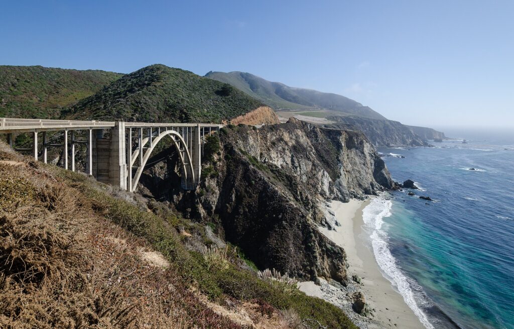
- Bixby Creek Bridge, about 13 miles south of Carmel: the concrete arch completed in 1932 stands 260 feet above the creek and is 714 feet long. The viewing pullout on the north side is small; if it is full, keep driving rather than stopping on the shoulder. Parking at the Old Coast Road entrance on the north end of the bridge has been prohibited since September 2024.
- Pfeiffer Big Sur State Park reopened on October 16, 2026 after the Timber Fire, with its day-use areas, campground, Redwood Grove boardwalk and Big Sur Lodge open. Pfeiffer Falls Trail, Valley View Trail and several backcountry trails remain closed until further notice.
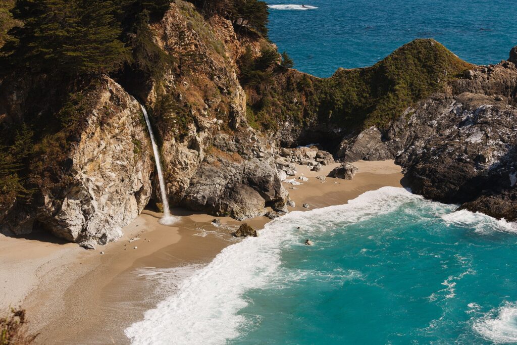
- McWay Falls in Julia Pfeiffer Burns State Park, 37 miles south of Carmel: a waterfall that drops onto the beach of a small cove. You view it from a short overlook trail; there is no beach or ocean access, and the cliff areas beyond the fences are closed. The day-use fee is $10 per vehicle.
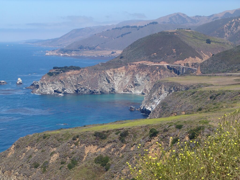
South of Lucia the mountains drop straight into the sea, and the road passes the slide areas that were closed until January 2026. Spend the night in Cambria or San Simeon.
Day 3: Elephant Seals, Hearst Castle and Morro Bay
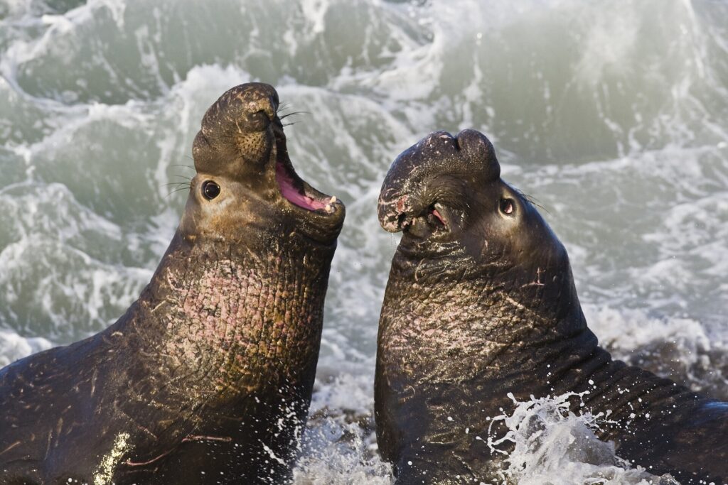
Start at the Piedras Blancas elephant seal rookery, about 4.5 miles north of the Hearst Castle entrance on Highway 1. Viewing is free, needs no reservation and the boardwalks are open every day. Numbers peak three times a year: late January (most pups are born by then), around May 1 during the molt, and late October, when juveniles haul out. Adult males start arriving at the end of November.
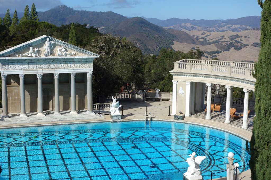
Then head up the hill to Hearst Castle, William Randolph Hearst’s estate above San Simeon. The official site shows it open for tours, and reservations are strongly encouraged through ReserveCalifornia or by phone at 1-800-444-4445. Every tour starts with a 15 to 20 minute shuttle bus ride from the visitor center at 750 Hearst Castle Road; a standard tour lasts about 70 minutes, and you should arrive 25 minutes before your tour time. If you book two tours, leave at least two hours between start times.
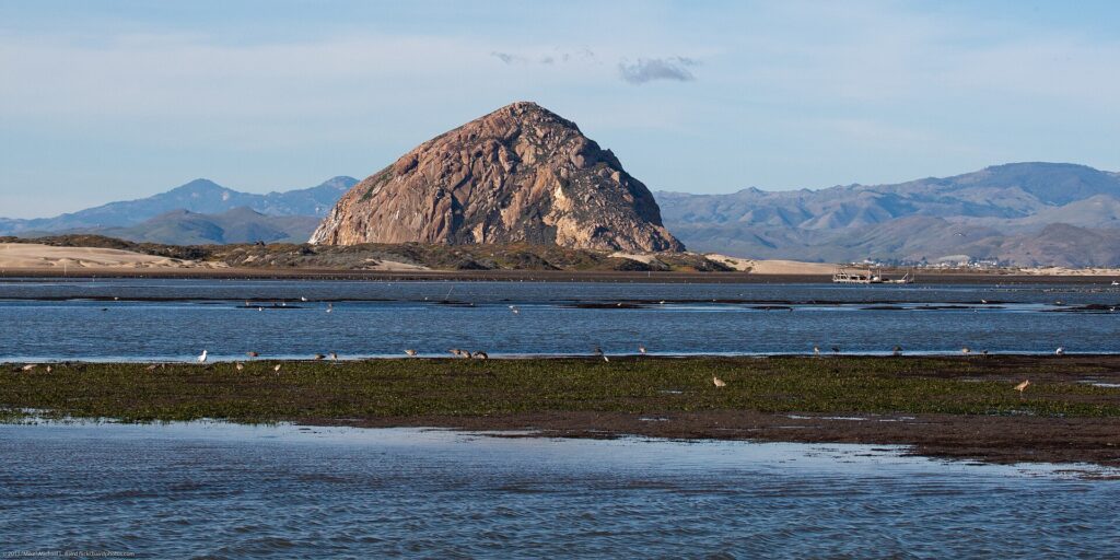
Continue south through Cambria to Morro Bay, where Morro Rock, the bay’s best-known landmark, rises at the harbor mouth. It is protected, and climbing it is prohibited, but the walk around its base and the harbor is easy. Overnight in San Luis Obispo or Pismo Beach.
Day 4: Pismo Beach to Santa Barbara
From November through February, the Pismo State Beach Monarch Butterfly Grove (445 South Dolliver Street, Pismo Beach) hosts overwintering monarchs; entry is free and the grove is open sunrise to sunset. Wine lovers can detour inland to Paso Robles or the Santa Ynez Valley; see our guides to Paso Robles wineries and tasting rooms and Santa Ynez wine and dining.
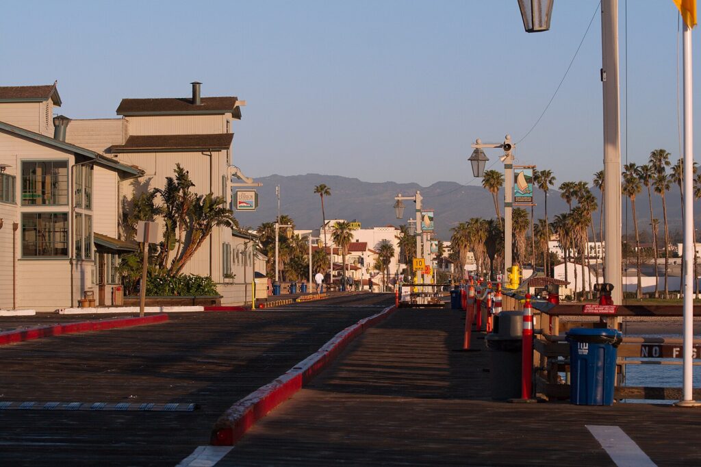
In Santa Barbara, walk State Street and the waterfront, go out on Stearns Wharf, and visit the Old Mission Santa Barbara at 2201 Laguna Street, founded by Franciscan friars in 1786 and open for self-guided visits most days. Our guide to things to do in Santa Barbara has more ideas.
Day 5: Ventura Coast, Malibu and Los Angeles
Santa Barbara to Los Angeles is roughly 95 miles, or about an hour and three-quarters without traffic. South of Oxnard, take Highway 1 rather than staying on US 101: the road runs along the bottom of the Santa Monica Mountains past Point Mugu and Leo Carrillo into Malibu. Good stops include El Matador State Beach, with its sea stacks and rocky coves reached by a steep path, and Point Dume. Our guide to things to do in Malibu covers the beaches and lunch stops.
Just past Malibu on PCH in Pacific Palisades, the Getty Villa reopened on June 27, 2025, after the Palisades Fire; it uses free timed-entry reservations, so check getty.edu for current days and hours. Finish the drive in Santa Monica; see things to do in Santa Monica and our roundup of Los Angeles beaches.
Extending the Trip South of Los Angeles
If you start in San Diego, the official PCH begins at Dana Point and runs through the Orange County beach towns: Laguna Beach, Newport Beach and Huntington Beach, then through Seal Beach into Long Beach. It is mostly city driving with traffic lights, so allow a full day for what looks like a short distance. For ideas on the LA end, see things to do in Long Beach.
Best Time of Year to Drive Highway 1
- September and October usually bring the clearest weather on the coast and smaller crowds after the summer holidays.
- June through August are cooler and foggier than many visitors expect. Fog tends to be heaviest in the morning and evening and often clears by mid-morning, so plan Big Sur viewpoints for late morning and afternoon.
- December through March is a popular time at the elephant seal rookery, and monarchs are in Pismo Beach from November to February. It is also storm season, when slides and closures in Big Sur are most likely.
Practical Tips: Fuel, Cell Signal, Parking and Pullouts
- Fuel: gas stations are few and far between on the Big Sur coast. Fill up in Carmel or Monterey heading south, or in Cambria or San Simeon heading north.
- Cell coverage: long stretches of Big Sur have little or no signal. Download offline maps and your hotel and tour confirmations before you leave Carmel or Cambria, and tell someone your plan for the day.
- Pullouts: if a line forms behind you, use the next pullout to let it pass. Never stop in the traffic lane for a photo, and pull completely off the pavement when you park.
- Fees and reservations: plan on state park day-use fees (for example $10 at Julia Pfeiffer Burns and Point Lobos), book Hearst Castle in advance, and reserve Big Sur lodging early, since there are few rooms on the coast itself.
- Road status: check Caltrans QuickMap for Highway 1 conditions the day before and the morning of your Big Sur day.
Distances and Driving Times at a Glance
- San Francisco to Monterey: about 115 miles, around 2 hours.
- Carmel to Bixby Creek Bridge: about 13 miles. Carmel to McWay Falls: about 37 miles.
- Big Sur Coast Highway, Carmel Highlands to San Simeon: about 71 miles; allow a full day with stops.
- San Luis Obispo to Cambria: about 34 miles. Hearst Castle is roughly an hour north of San Luis Obispo.
- Santa Barbara to Los Angeles: about 95 miles, roughly 1 hour 45 minutes without traffic.
- San Diego to San Francisco along the coast: roughly 600 miles, about 12 hours of driving.
Letting Someone Else Do the Driving
Big Sur is tiring to drive: hundreds of curves, sheer drops and no signal. If you would rather watch the coast than the road, Classic Experiences runs chauffeured trips from Los Angeles hotels. A Malibu day trip or a Santa Barbara day trip covers the southern end of the route in a day, and our Los Angeles to San Francisco trip follows the coast north with a driver-guide. For planning the full journey yourself, see our guide to a private road trip from Los Angeles to San Francisco.
Pacific Coast Highway Road Trip: FAQ
Is Highway 1 open through Big Sur?
Yes, as of mid-November 2026. Regent’s Slide reopened on January 14, 2026, restoring through traffic between Carmel and Cambria, and the highway reopened after the August 2026 Timber Fire closures. Expect one-way traffic control at repair sites, occasional daytime work closures and possible storm closures in winter. Check Caltrans QuickMap before you go.
How many days do you need for a Pacific Coast Highway road trip?
Five days between San Francisco and Los Angeles is a comfortable pace with a full day for Big Sur and time for Hearst Castle and Santa Barbara. The coastal drive from San Diego to San Francisco is about 12 hours behind the wheel, so anything under three days means more driving than sightseeing.
Is it better to drive the PCH north or south?
Southbound puts you on the ocean side of the road, with better views and easier access to pullouts in Big Sur. Northbound is fine if you are starting in Los Angeles; just expect to cross traffic to reach most viewpoints.
Is PCH through Malibu open after the Palisades Fire?
Yes. Caltrans reopened PCH between Santa Monica and Malibu to all drivers on May 23, 2025. Repair work has continued since, with lane closures and lower speed limits in parts of the burn area at times, so check QuickMap for current conditions.